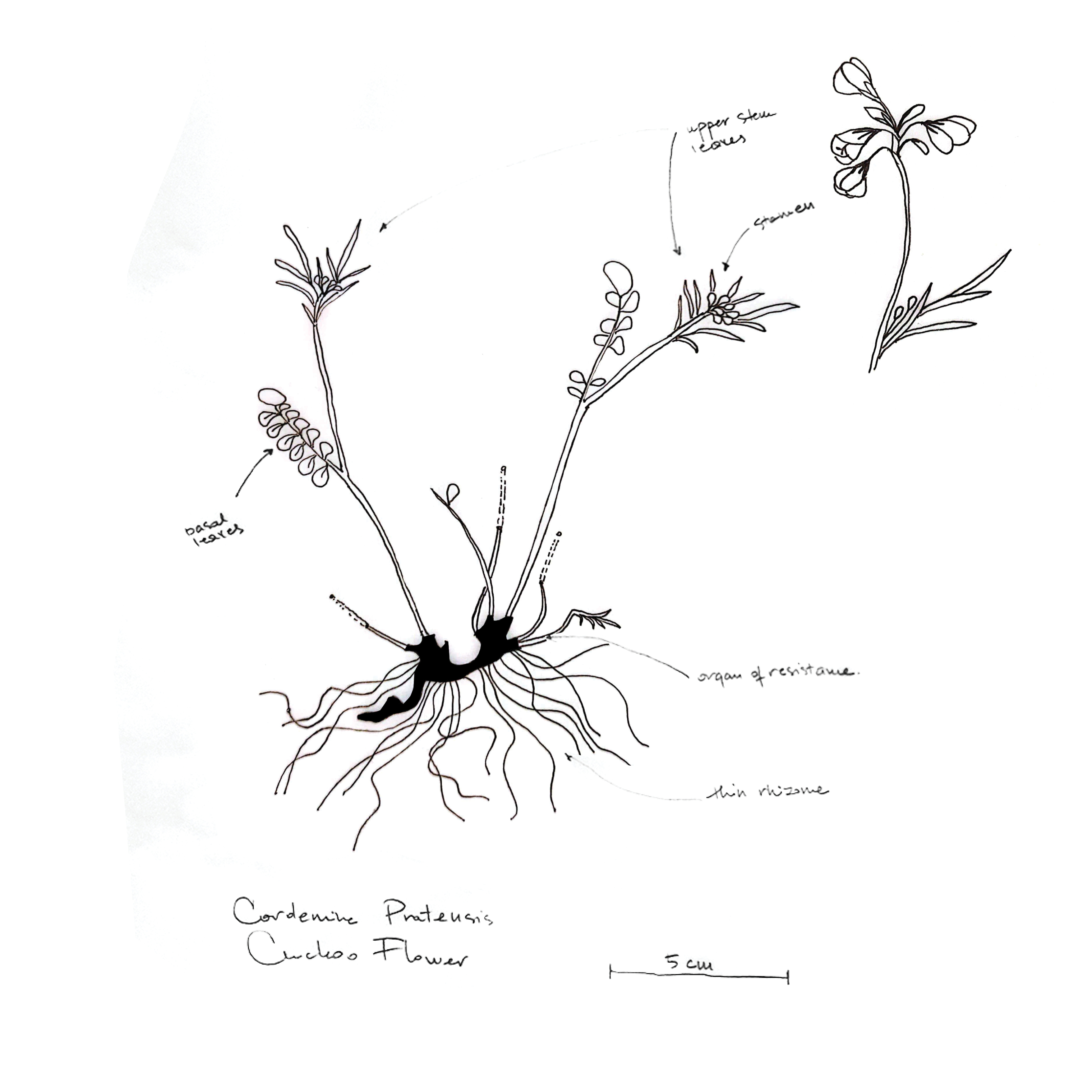
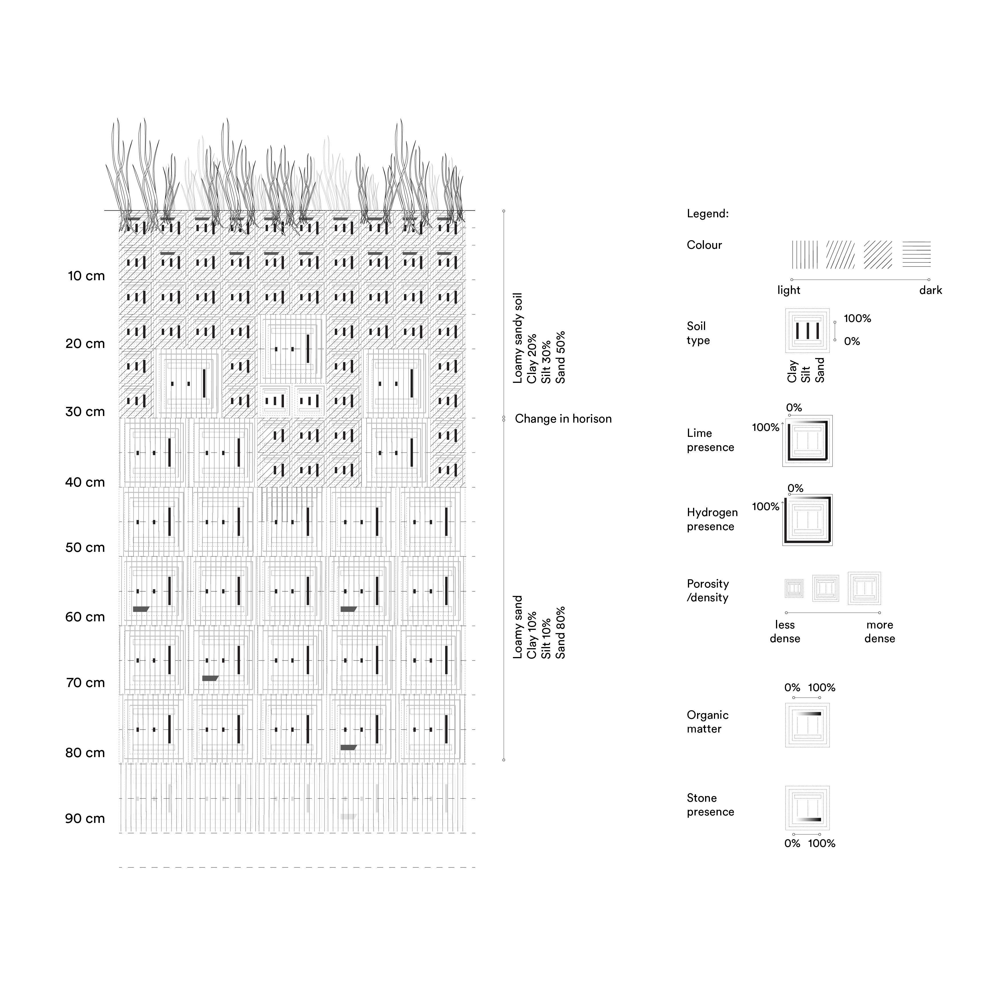
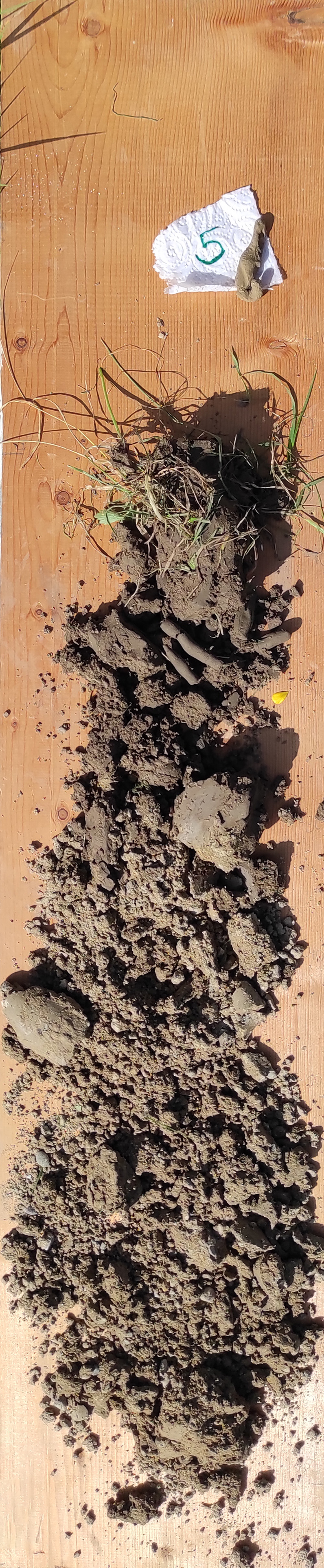
around the cockoo flower
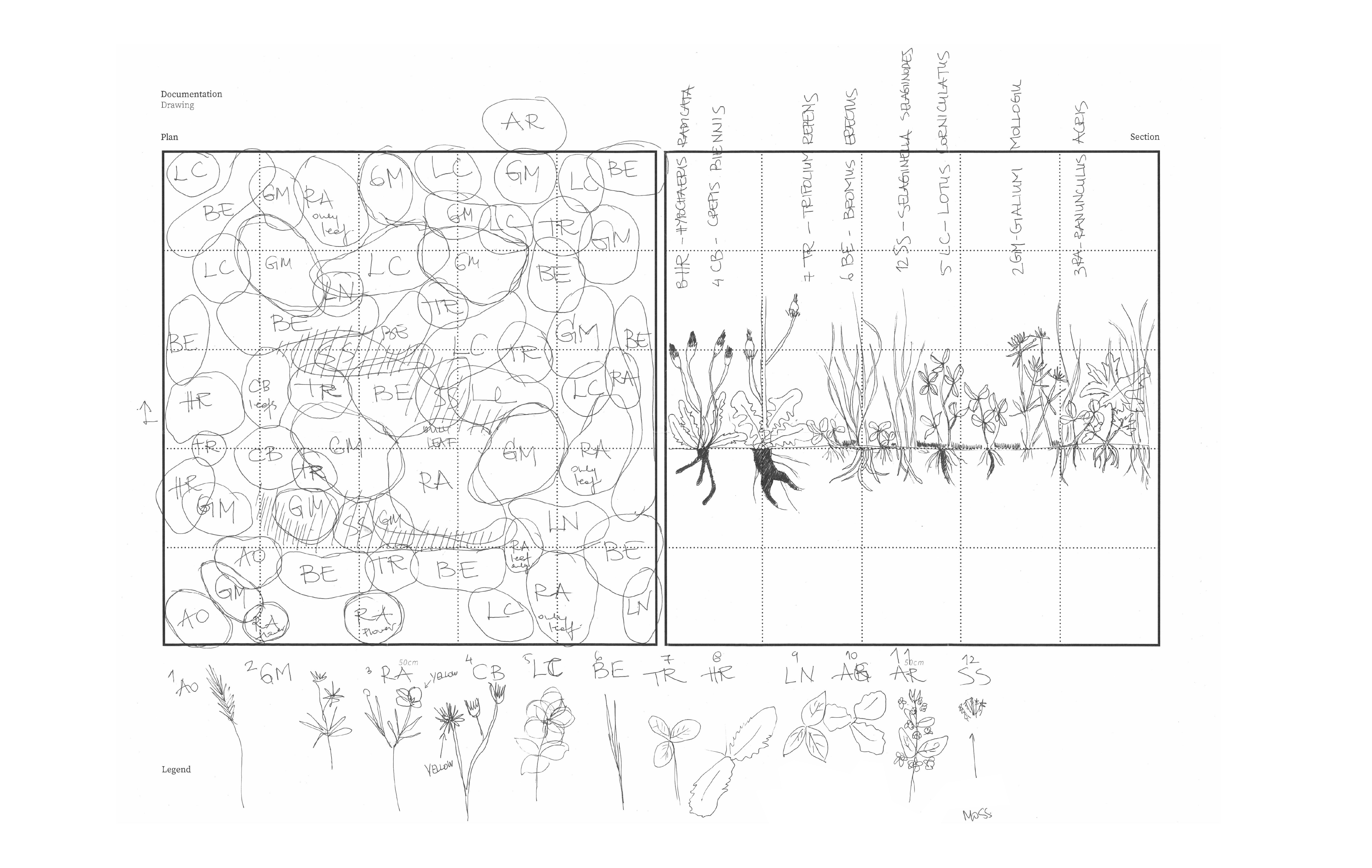
The research involves the systematic tracing of ecosystem dynamics surrounding Cardamine Pratensis, the cuckoo flower, aiming to translate scientific knowledge regarding living entities. By methodically dissecting and studying the flower through detailed drawings, the study explores its relationships with adjacent soils and plant communities. The goal is to deepen understanding of the meadow ecosystem and its broader ecological implications, using the cuckoo flower as a focal point for comprehensive investigation and analysis.
Research and representation of meadow plant communities and soils
Chair of Being Alive, ETH Zürich
www.gali-izard.arch.ethz.ch


land around
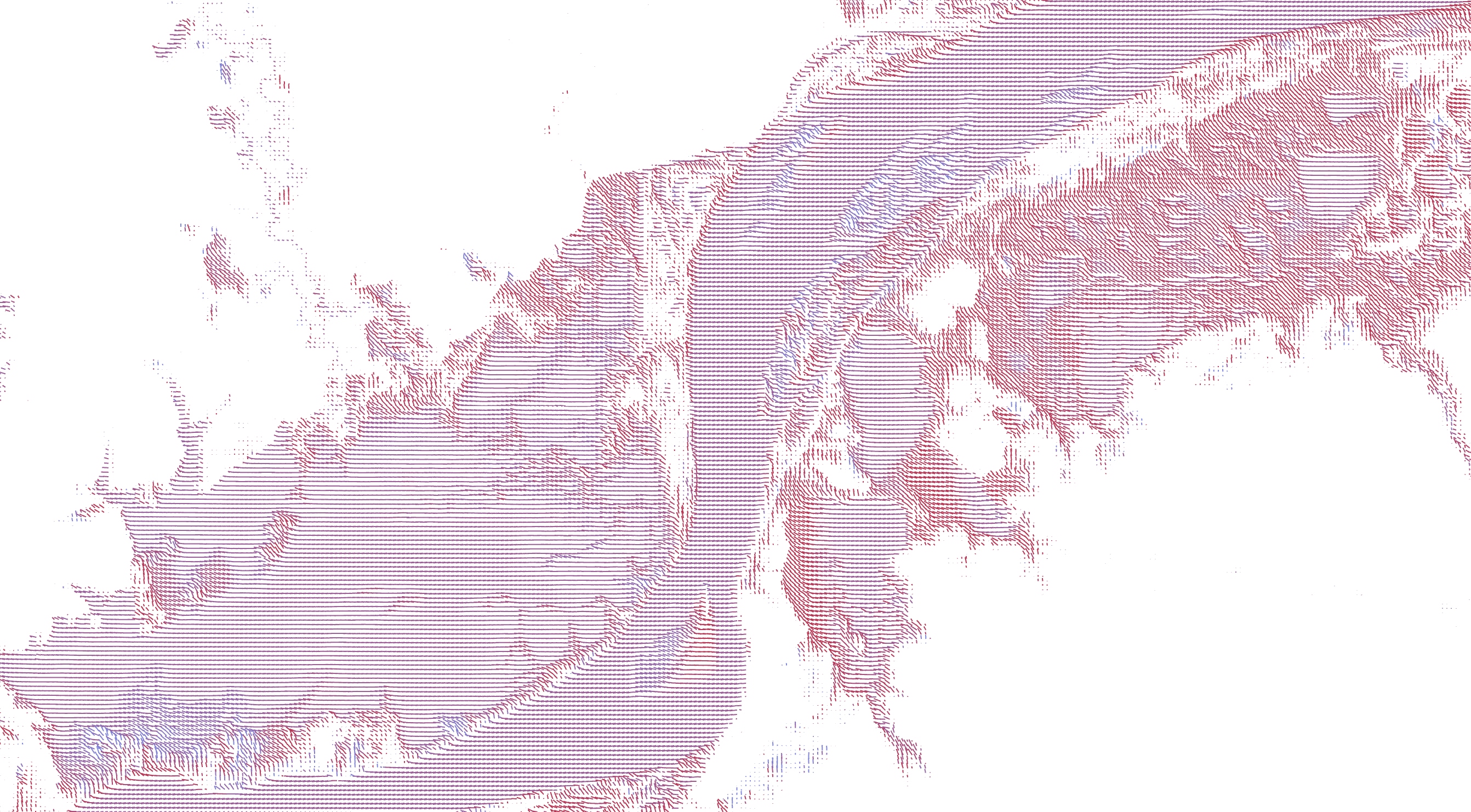
Complementary to Montagna’s photography, the mapping process works with the more invisible aspects of the landscapes photographed.
These patterns are typically hidden from the human perception; and this is not only because such patterns are not visually accessible, but also because their temporal pattern does not follow anthropocentric ones.
Three types of vegetation corresponding to three different heights are represented: grasslands, shrub lands, and more ecologically established areas populated by trees. Referring to the ecological succession diagram, they correspond to three different temporal patterns. The different vegetation also corresponds to different antrophic environments that the bulls figure generate; their influence on the surrounding.
From these drawings, other conditions of urbanity can be extracted as well; in this way thinking of the urban through landscape.
Representation of landscape in the photography of Maurizio Montagna
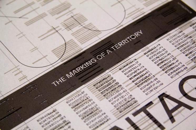
for the book ‘Toros - The Making of a Territory’
Role: Maps and Infographics
Published by Artphilein Editions, Lugano, 2022
Photographs: Maurizio Montagna
Editor: Elisa C. Cattaneo
Texts: Ethel Baraona Pohl, Elisa C. Cattaneo
www.artphilein-editions.org/2022/05/11/maurizio-montagna-toros/
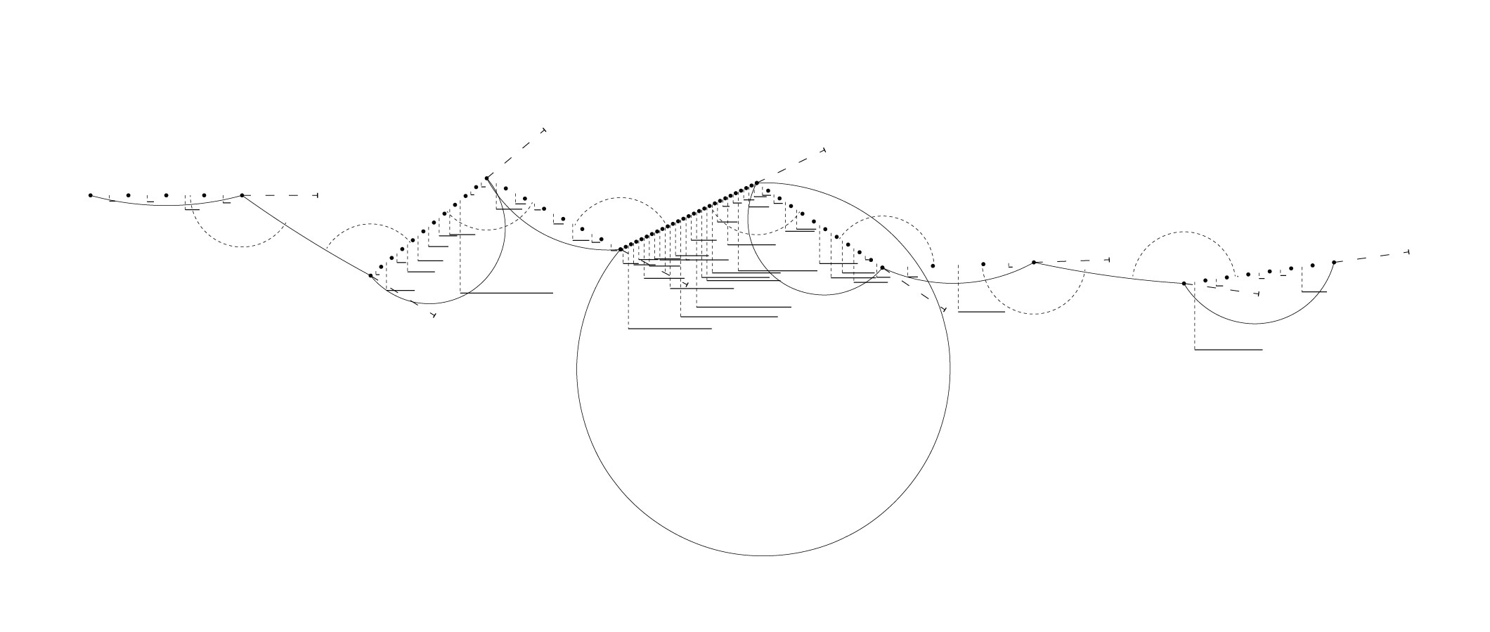
Visualisation of Montagna’s journey; showing photographed locations per trip, length of trip, distance between locations, and time between trips.
The unmistakable silhouette of the Osborne bull is so deeply rooted in our minds, it has become a vernacular object in photography: widely used in art and cinema, due to its widespread recognizability and the powerful image it evokes, they could be considered one of the most potent images of the recent decade.
In Montagna’s photographies, the big Osborne signs an articulate and controversial dialogue with the surrounding areas. They become a means to describe the landscape, opening a diatribe with the social and natural environment and revealing the role of images as interference between public/and private, power/perception, politics and people.
Montagna’s images unveil the mechanisms of forming a disputable meaning in the landscape.
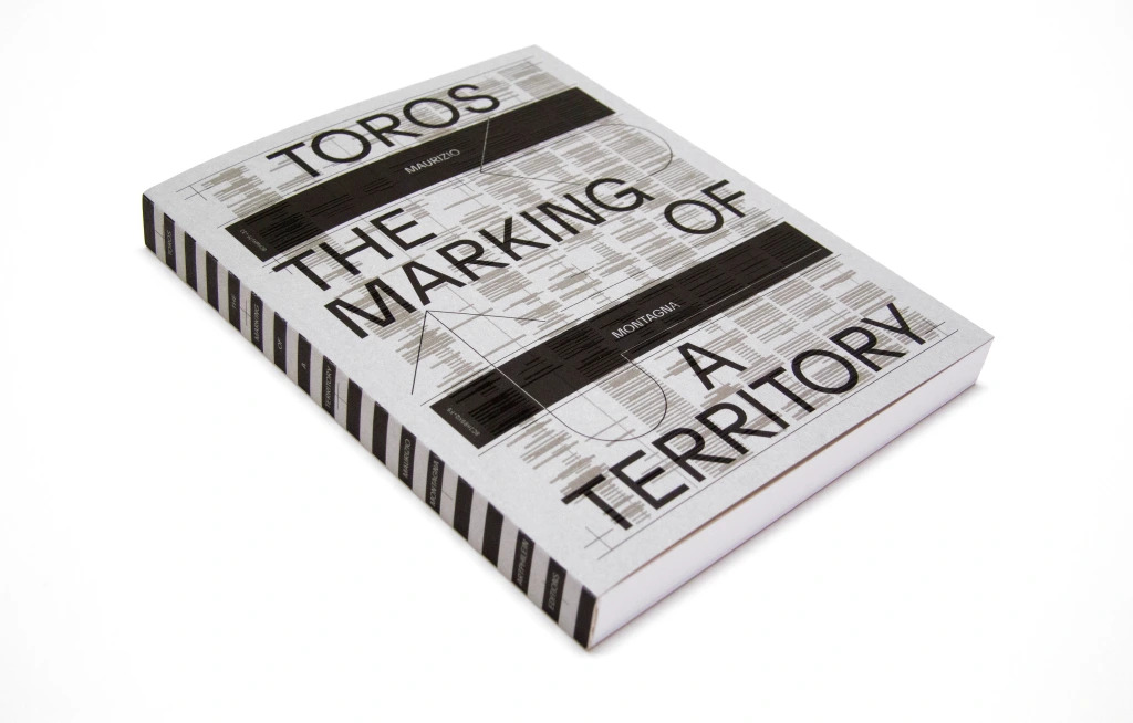
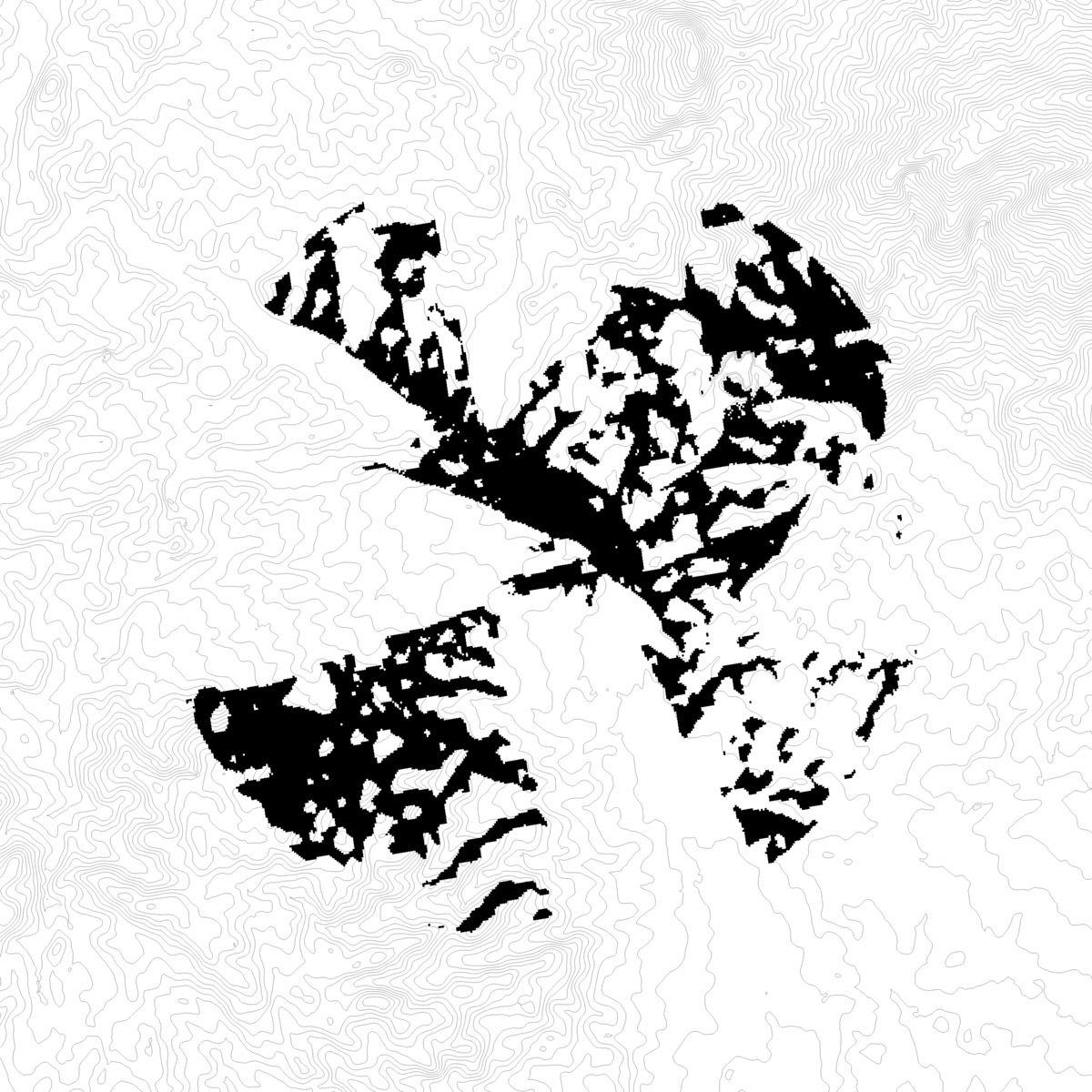
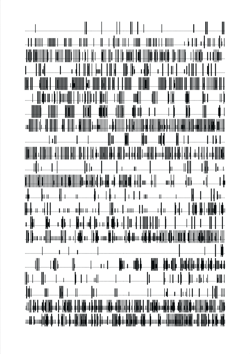
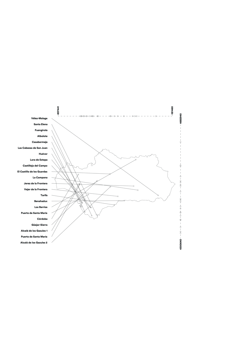

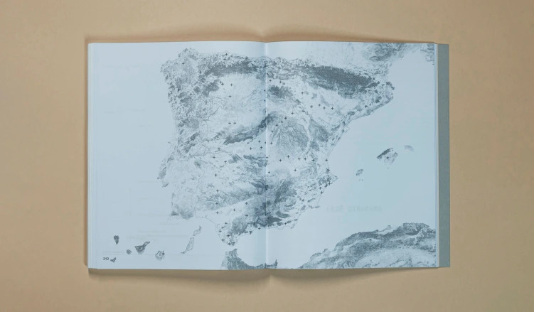
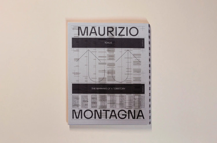

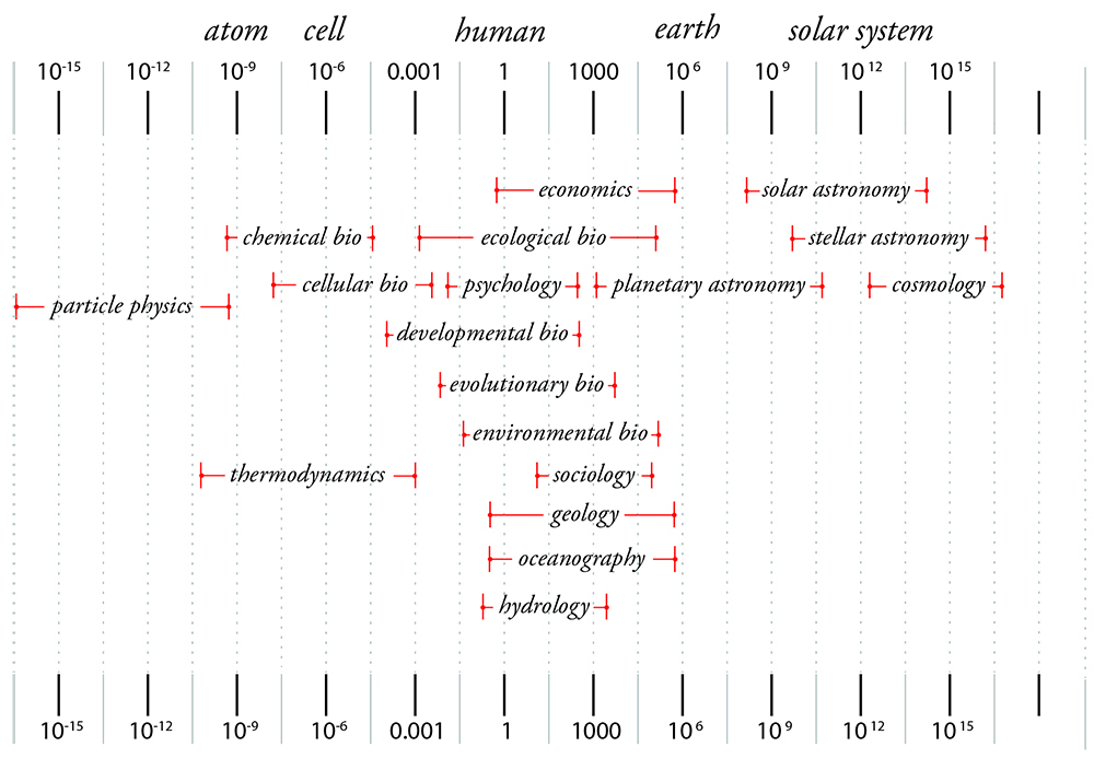
Diagram illustrating scales of scientific inquiry, Adrian Lahoud, 2015
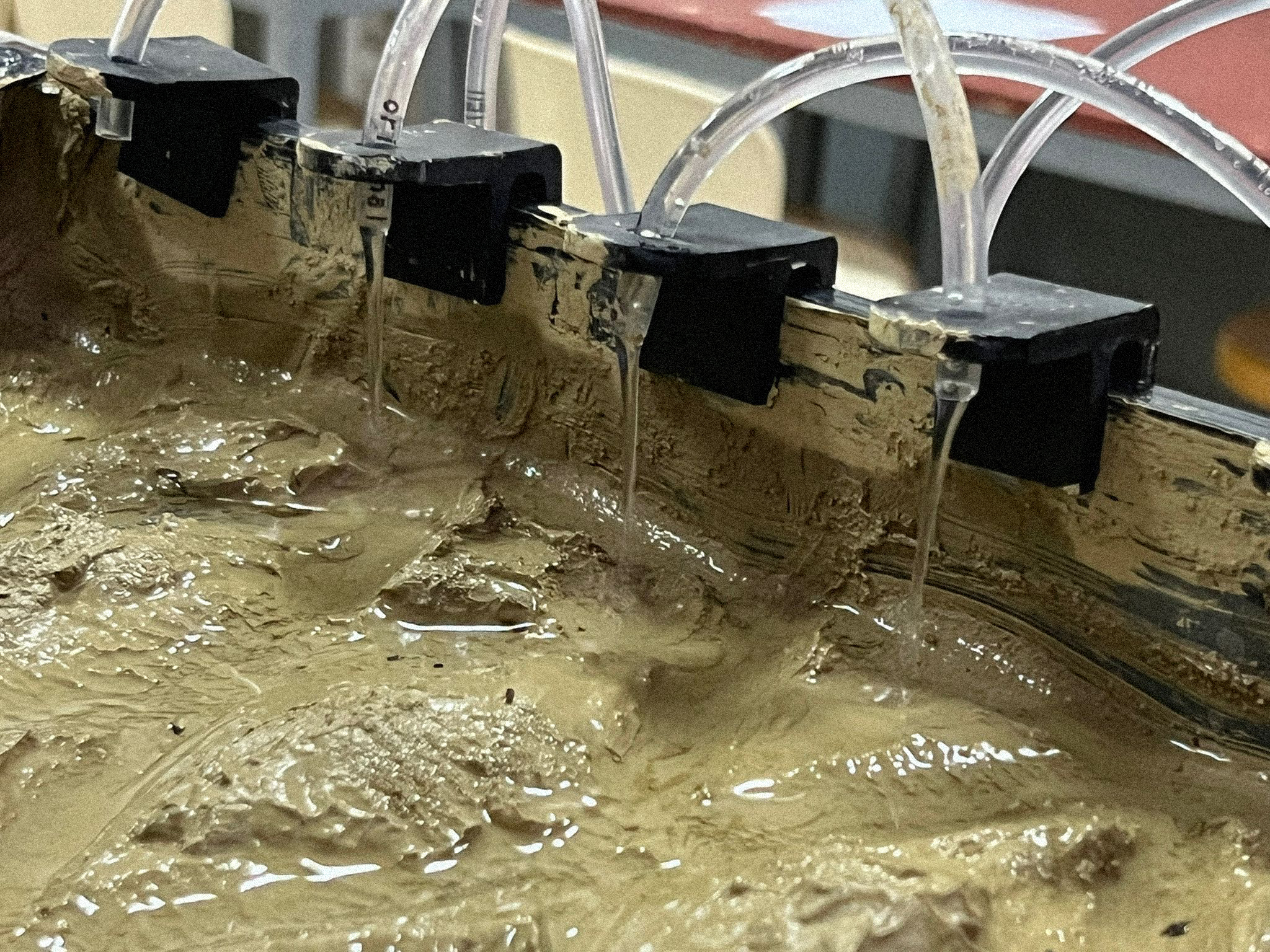
design with environments
Water is considered an unpredictable commons, as Elinor Ostrom suggests, due to its fluid and ever-changing nature. These experiments explored the agency of water—its unpredictable flows, dynamic forces, and interactions with the landscape. By investigating water across different scales, the aim is to integrate its inherent unpredictability into design and policy thinking through interdisciplinary exploration.
Design Class at Polis University in Tirana
Role: Visiting Lecturer, with Iacopo Neri and Eugenio Bettucchi

Territorial data visualization
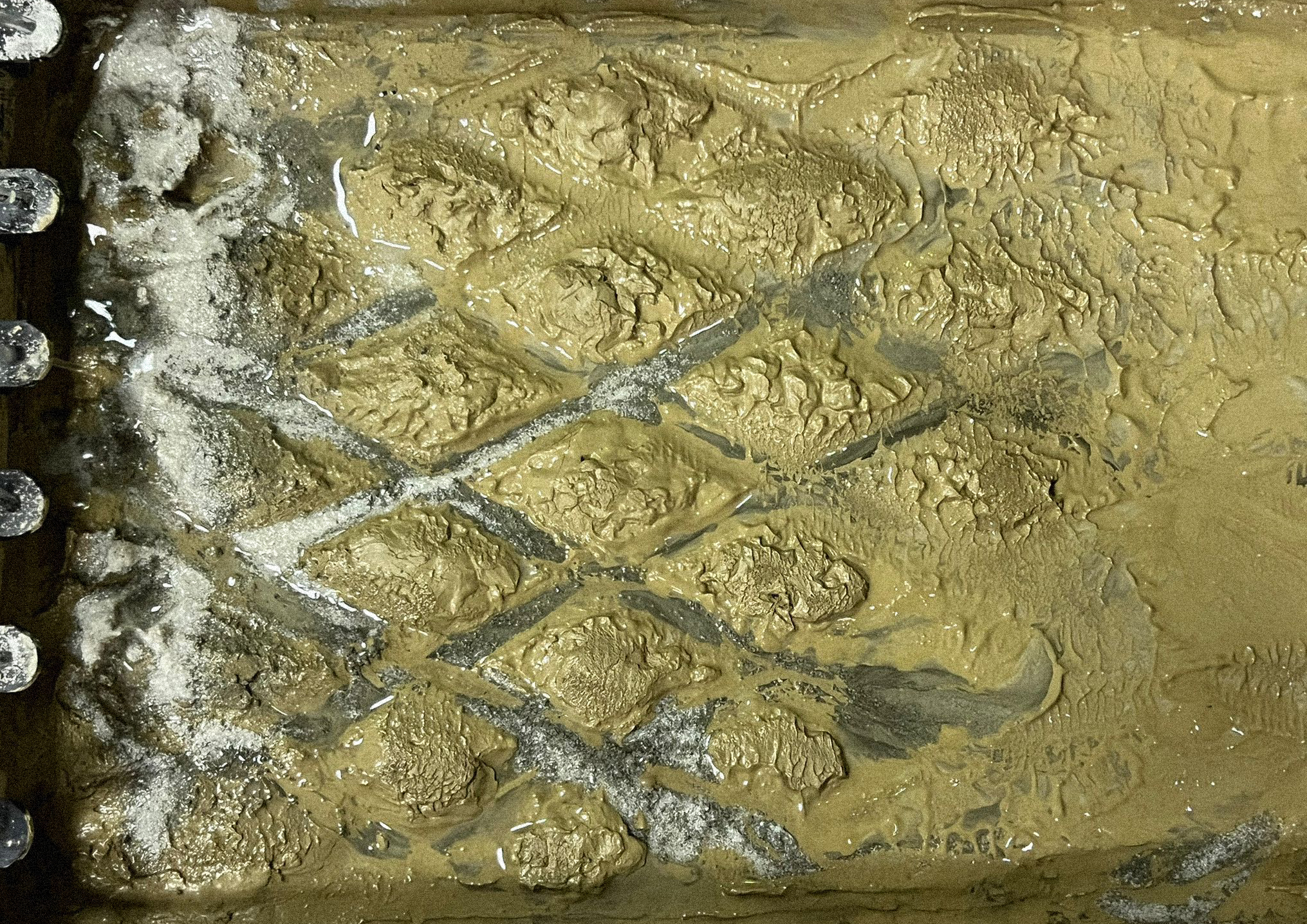
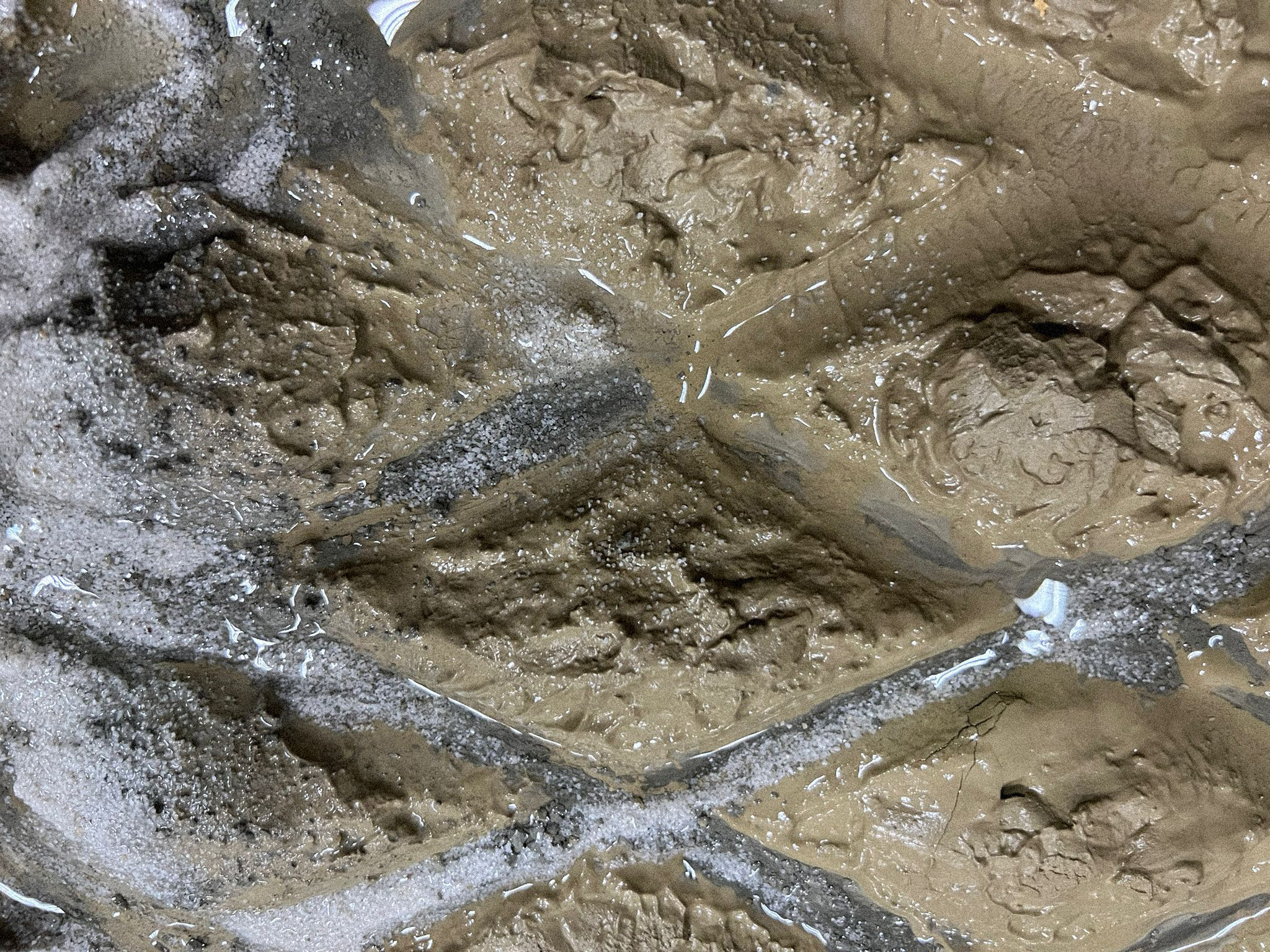
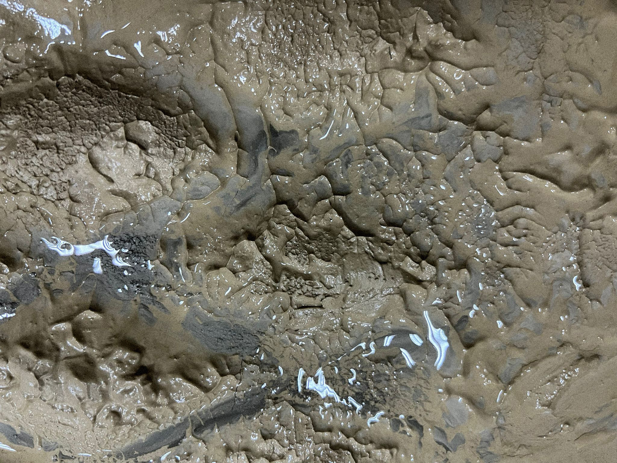
Physical model, water and soil simulation
center for narrative practice
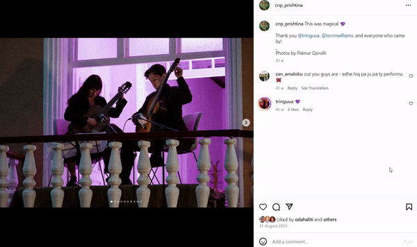
Revitalization of the Hivzi Sulejmani Library
Role: Architect, Concept Design
The Centre for Narrative Practice is supported by the Government of the Grand Duchy of Luxembourg, in collaboration with the Municipality of Prishtina, and the Royal Embassy of The Netherlands in Kosovo.
Implementing partners: United Nations Development Programme (UNDP), Cultural Heritage without Borders,
2022
Photos © Manifesta 14 Prishtina / Atdhe Mulla
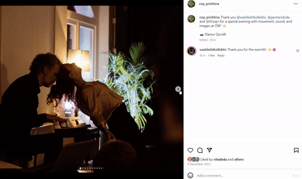
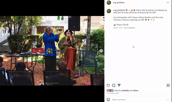
https://www.instagram.com/cnp_prishtina/
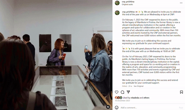
Centre for Narrative Practice – a new multidisciplinary institution
at the former Hivzi Sulejmani Library. The Centre is free and
accessible to the public, with community initiatives for citizens of
all ages and backgrounds. The Centre’s facilities include maker
spaces, reading and radio rooms and a garden with a tree canopy.
The Centre for Narrative Practice is a site for storytelling.
It is a place to read and to listen to stories, a place to learn new ways
of telling stories and a place to reflect on how we use storytelling to
engage with one another, to take part in public and political life and to
bring forth new imaginaries and ways of being.
This new multidisciplinary institution is situated at the former
Hivzi Sulejmani Library, an oasis of quietude, learning and sharing
that has been greatly missed since it closed its doors to the public in
2016. The library’s renovation, refurbishment and reimagination by
Manifesta 14 Prishtina draws on the desires and needs articulated by the
people of Prishtina in consultations and research conducted by the Education team.
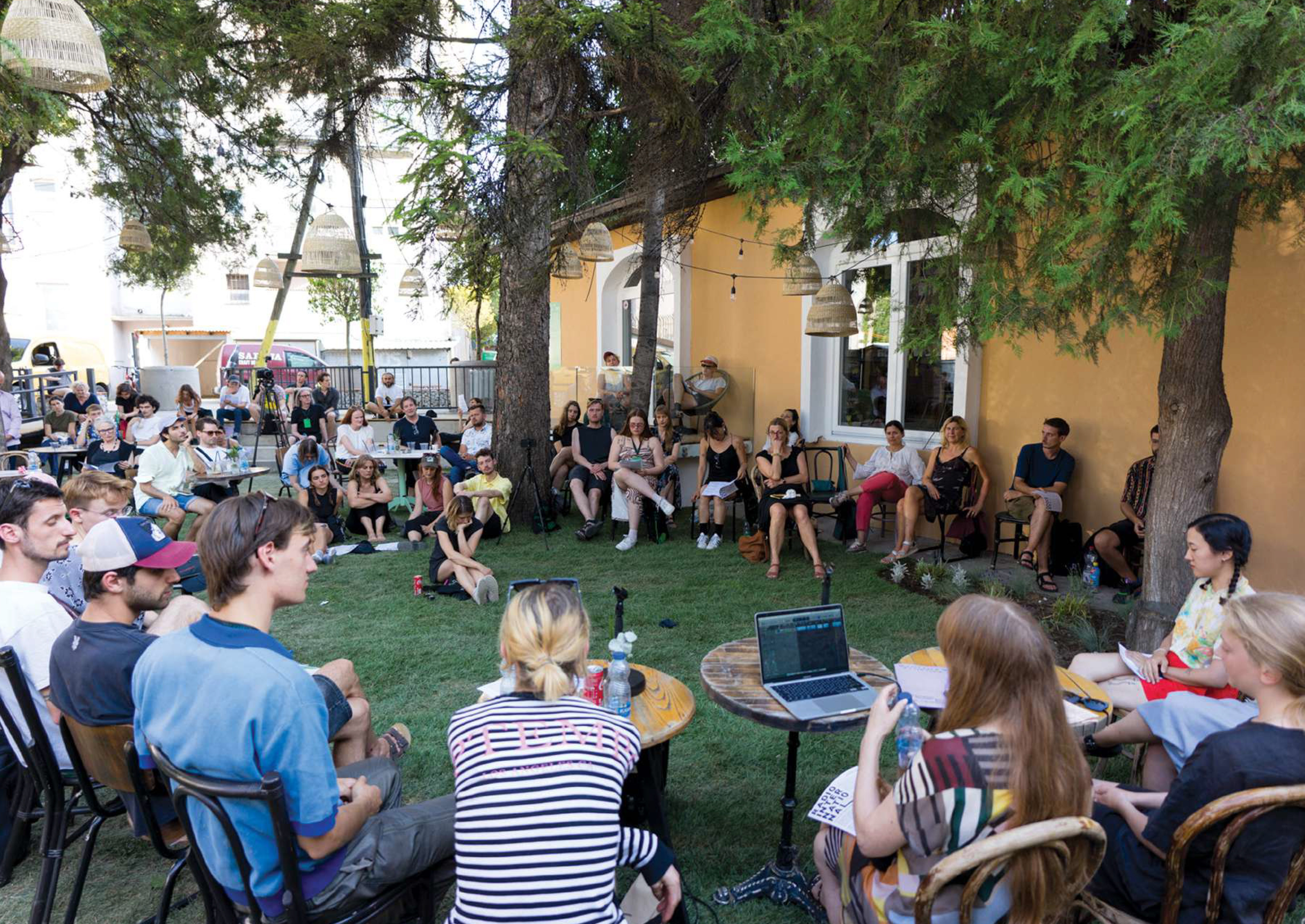
The complex consists of three buildings set in a lush shady garden.
It contains a reference library and reading rooms, maker spaces,
meetings rooms, cabinet galleries, a podcast studio and a children’s
museum known as The Room of Things. It offers spaces for screenings,
educational activities, presentations and performances.
at the former Hivzi Sulejmani Library. The Centre is free and
accessible to the public, with community initiatives for citizens of
all ages and backgrounds. The Centre’s facilities include maker
spaces, reading and radio rooms and a garden with a tree canopy.
The Centre for Narrative Practice is a site for storytelling.
It is a place to read and to listen to stories, a place to learn new ways
of telling stories and a place to reflect on how we use storytelling to
engage with one another, to take part in public and political life and to
bring forth new imaginaries and ways of being.
This new multidisciplinary institution is situated at the former
Hivzi Sulejmani Library, an oasis of quietude, learning and sharing
that has been greatly missed since it closed its doors to the public in
2016. The library’s renovation, refurbishment and reimagination by
Manifesta 14 Prishtina draws on the desires and needs articulated by the
people of Prishtina in consultations and research conducted by the Education team.
The complex consists of three buildings set in a lush shady garden.
It contains a reference library and reading rooms, maker spaces,
meetings rooms, cabinet galleries, a podcast studio and a children’s
museum known as The Room of Things. It offers spaces for screenings,
educational activities, presentations and performances.
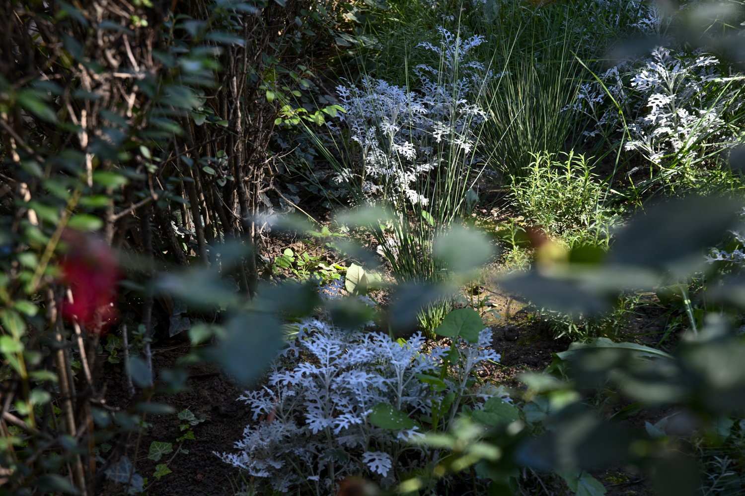
Change of Nature, Nature of Change, Artistic intervention by Yll Xhaferri
Yll Xhaferi seeks to revive the garden of the Centre for Narrative Practice as an “urban oasis” and to help restore the sense of common ownership it once embodied.
Oral histories suggest that the garden of the Manifesta 14 Centre for Narrative Practice, formerly home to the Hivzi Sulejmani Library, was once a site of solidarity and learning. The lush, leafy environment served as an alternative to the small and dark reading rooms inside the building and as place to gather and drink coffee. Back then, the staff of the library voluntarily tended the trees, flowers and shrubs.
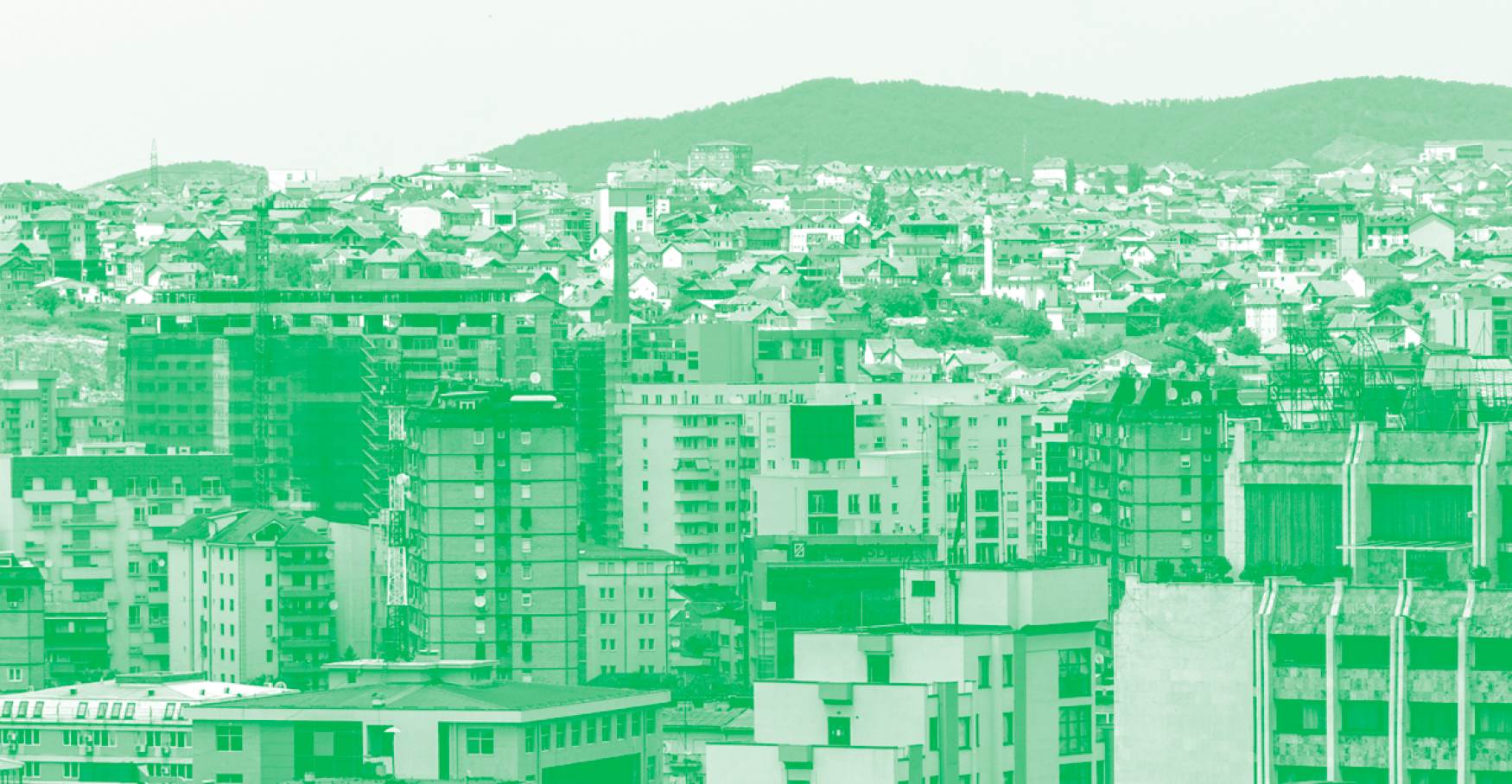
public after all
One of the key pillars of Manifesta, the European Nomadic Biennial, is its strong focus on urban development within its Host Cities.
The Urban Vision functioned as both pre-biennial research and a long-term plan to identify possible strategies, sites, communities and key topics for the city. The Urban Vision informed how Manifesta 14 will take shape within the local context, but most importantly it is commissioned to develop how the city of Prishtina could be transformed by reclaiming public space by its citizens.
Manifesta 14 Prishtina is an initiative of International Foundation Manifesta, Amsterdam and the Municipality of Prishtina and is organized by Foundation Manifesta 14 Prishtina.
https://manifesta14.org/
Project developed by CRA-Carlo Ratti Associati, in collaboration with Kosovo Architecture Foundation and MIT Senseable City Lab
CRA-Carlo Ratti Associati Team: Carlo Ratti, Daniele Belleri, Erzë Dinarama, Emma Greer, Juan Carlos Romero
MIT Senseable City Lab Team: Fabio Duarte, Fan Zhang, Yuhao Kang
Kosovo Architecture Foundation Team: Bekim Ramku, Zana Bokshi, Gresa Morina, Bardha Meta, Marigona Dërguti
University of Prishtina, Faculty of Architecture: Ilir Gjinolli, Ardita Byci, Rron Beqiri, Anita Shatri, Rreze Kurteshi, Vanesa Orana, Elitë Morina, Endrit Mecini, Gjelil Gashi, Tringa Krasniqi, Valza Berisha, Lira Avdiu, Lea Hoxha, Kosovare Hulaj, Valesa Jahmurataj, Edon Millaku, Faik Beqiri
Photo credits: Atdhe Mulla, Majlinda Hoxha, Ivan Erofeev
More info: www.manifesta14.org/programme/urban-vision/, https://www.economist.com/
culture/2022/07/29/manifesta-14-reinvigorates-neglected-spaces-in-kosovos-capital

The aftermath of the Kosovo War in 1999 resulted in cultural, legal, and political paralysis, leading to a loss of public space and a lack of recognition of what is considered common. The Urban Study for Manifesta 14 Prishtina, explored how the city of Prishtina could be revitalized by reconstructing, redefining, and reclaiming public space. This research involved mapping, bottom-up analysis of public space, interviews with local experts and activists, and tactical urban interventions. Recognizing that a city is an evolving process, the mapping process aimed to identify existing qualities within the city's fabric and enhance them through small-scale, inexpensive, and temporary interventions. This approach provided citizens with the opportunity to discuss these spaces. This exercise was particularly significant in Kosovo, where "public space" is not legally defined, and very little public space has been developed since 1999.
+39 327 633 6139 +383 44 135 472
erzadinarama@gmail.com
erzadinarama@gmail.com
Erzë
Dinarama unless otherwise specified

© 2